Picture this: You’re a pilot flying over hundreds of miles of pipeline, responsible for spotting potential threats while simultaneously navigating your aircraft. A momentary distraction, poor weather, or dense vegetation could mean missing a critical leak or encroachment.
Unfortunately, this scenario plays out daily across North America, where traditional aerial patrols—despite decades of faithful service—are failing to catch nearly 33% of pipeline threats (PRCI, 2017). As energy infrastructure ages and environmental regulations tighten, the stakes have never been higher for pipeline integrity management. The question isn’t whether visual-only inspections will miss something—it’s what the cost will be when they do.
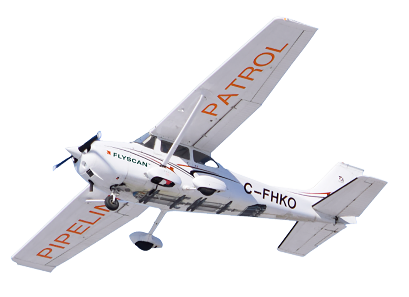
A leading North American pipeline operator recognized this challenge and turned to Flyscan’s AI-powered aerial inspections, transforming how they manage safety, environmental stewardship, and operational efficiency.
The Challenge of Traditional Aerial Patrols
For decades, pipeline operators relied on pilots flying small aircraft to visually inspect the pipeline right-of-way (ROW). While effective in some cases, this method created serious limitations:
- Human error: Pilots tasked with flying and inspecting could miss threats.
- Limited visibility: Weather, vegetation, and terrain obscured signs of leaks or encroachment.
- Inaccurate positioning: While GPS coordinates for detected issues were directionally correct, even the slightest inaccuracies could result in time-consuming field investigations.
- No permanent record: Without imagery, operators lacked historical data for ROW monitoring and change detection.
- Difficulty detecting small leaks: Visual inspections rarely identified hydrocarbon leaks below typical detection thresholds.
The operator needed a more advanced solution to keep up with evolving risks and compliance demands.
The Shift to AI-Powered Aerial Inspections
After evaluating satellite imagery and drone-based approaches, the operator chose Flyscan’s hyperspectral imaging and AI-powered threat detection technology. The rollout included:
- Controlled testing: Using simulated leaks to prove detection accuracy.
- Integration with GIS: Seamlessly connecting Flyscan data with existing pipeline monitoring systems.
- Real-time notifications: Enabling immediate ground response to potential threats.
- High-resolution ROW imagery: Creating a permanent baseline for vegetation tracking, encroachment detection, and planning.
- Staff training: Ensuring smooth adoption across departments.
The result was a modernized approach to pipeline integrity management, delivering faster, smarter, and more reliable insights.
Proven Results and Measurable Benefits
The operator achieved impressive results with Flyscan’s solution:
- Enhanced threat detection & GPS accuracy
More precise identification of ROW activity with accurate coordinates for rapid investigation. - Improved leak detection capabilities
Ability to identify small surface hydrocarbon leaks missed by other systems. - Significant operational savings
~200 fewer site investigations per year, saving approximately $180,000 annually. - High-resolution ROW monitoring
A detailed imagery mosaic for long-term planning, landowner engagement, and encroachment prevention. - Automation & real-time alerts
Faster response times to protect pipeline integrity and reduce false alarms. - Environmental stewardship
Early detection of potential environmental issues, minimizing impact and costs.
Looking Ahead: The Future of Pipeline Integrity
Encouraged by proven results, the operator plans to:
- Expand Flyscan’s deployment enterprise-wide.
- Enhance analytics to extract even more value from hyperspectral imaging data.
- Explore geohazard awareness and photogrammetry change detection for improved depth-of-cover monitoring.
The shift from outdated patrols to AI-powered aerial inspections is setting a new industry benchmark for pipeline safety and operational efficiency.